WeatherWatcher: Wind Advisory issued, spotty snow in the forecast
Thursday, December 9, 2021
 |
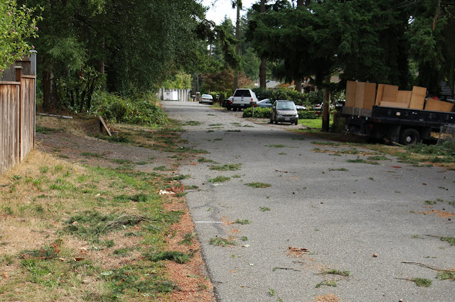
| Wind storm aftermath in Shoreline 2015. Photo by Carl Dinse |
The National Weather Service in Seattle has issued a Wind Advisory for the greater Seattle area, including the cities of Shoreline and Lake Forest Park. The wind advisory is in effect from Friday 7pm until Saturday 10am PST. Winds are expected to gust as high as 50-55mph in some local areas.
From the National Weather Service:
- What: South winds 25 to 35 mph with gusts up to 55 mph expected.
- Where: Southwest Interior, Everett and Vicinity, Tacoma Area, Hood Canal Area, Lower Chehalis Valley area, East Puget Sound Lowlands, Bellevue and Vicinity, Seattle and Vicinity, and Bremerton and Vicinity.
- When: From 7 PM Friday to 10 AM PST Saturday.
- Impacts: Gusty winds could blow around unsecured objects. Tree limbs could be blown down and a few power outages may result.
Forecasts have been inconsistent but Sunday morning and off and on through next week we will be flirting with arctic air masses passing by off the west coast. There is also a lot of precipitation expected through the next 5 days, at times mixing with snow, or becoming snow during the overnight hours. Snow levels currently are forecast to be as low as 400 feet, typically in the past that usually means most of Shoreline and parts of Lake Forest Park will at least see snowflakes in the air.
Stay tuned, I will bring more updates on the snow threats next week as more details become clear.
For current weather conditions visit www.shorelineweather.com


0 comments:
Post a Comment